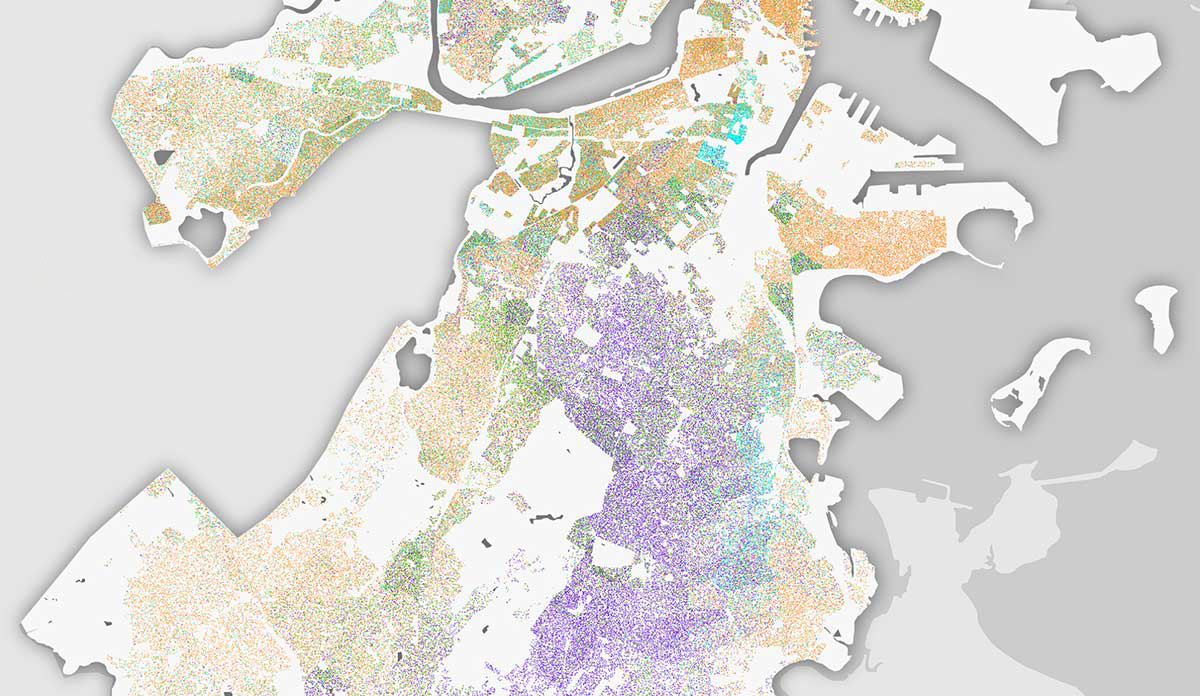
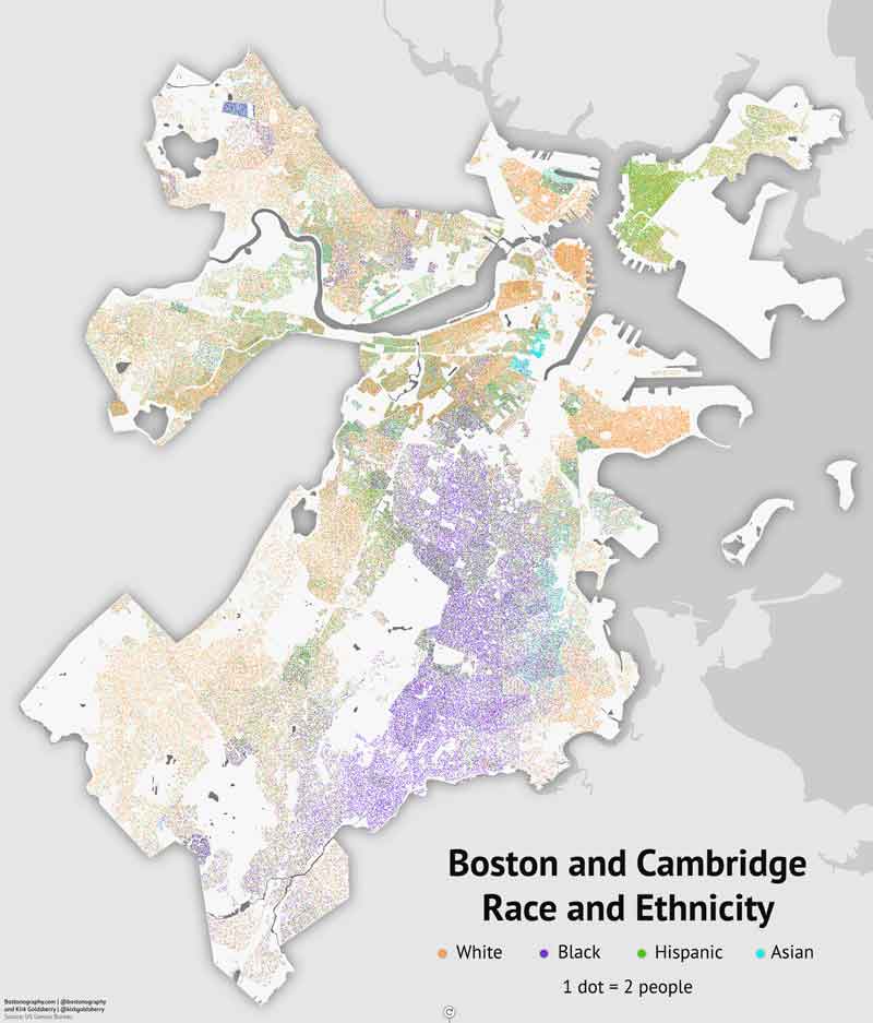
Boston truly is a tale of two cities. The graphic in this databyte is from the cartographers over at Bostonography. It shows that white people predominantly populate areas like Back Bay, Beacon Hill, the Waterfront and the North End. Meanwhile, people living in areas like Dorchester, Mattapan, Roxbury, and East Boston are almost all people of color. The median household income (MHI) is $89,302 in Beacon Hill and $99,474 in the Waterfront. Compare this to a MHI of $44,744 in Mattapan. 36.2% of people in Roxbury live in poverty. Compare this to a 9.8% level of poverty in Beacon Hill.
Social Determinism
Take a look at the crime data from police districts A01 (Beacon Hill, Downtown, North End) vs. B02 (Roxbury) for 2016. In the dataset, 346 crimes were tabulated for district B02, with 74 of these being violent in nature (21.4%). In district A01, there were 296 crimes, with 42 being violent in nature (14%). The rate of violent crime in Roxbury is not drastically higher. The vast majority of crime is theft.
The public health practitioner sees these as crimes of desperation and not one of character. Owing to social determinants and not the color of one’s skin, crime is higher. When people are desperate to provide for themselves and their families, resorting to unlawful means seems for some to be the only option. When people are chronically under intense social stress, violence increases.
The U.S. Supreme Court in Brown v. Board of Education pronounced to the nation in 1954 that separate is not equal. Such is still very much true in 2017.
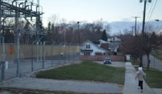
Databyte feature image (detail) and photo via Blue and Bluer: Massachusetts and Boston 2012 on Bostonography.