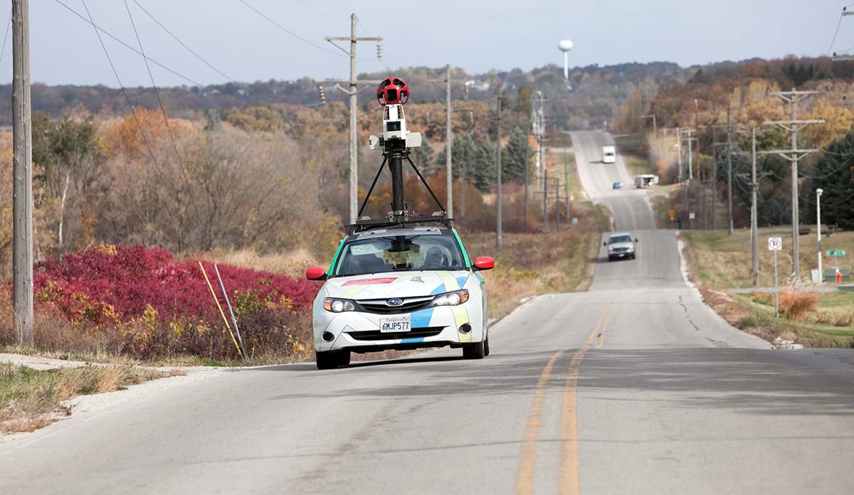
We all use Google Maps to get from one place to another. And, we use Street View, one of Google Map’s online features when we want to view high resolution, 360-degree, panoramic scenes of where we’ve been or where we’re headed. But what about using Google Street View (GSV) for a scientific purpose? Some researchers are doing exactly that. Investigators from Michigan State University and the University of Otago conducted a systematic review of 54 studies to identify the ways in which Street View has been used for public health research.
Forty-six studies used Street View to assess how neighborhoods are built. These studies measured sidewalks to judge walkability or measured associations between neighborhood green space and happiness and wellbeing. One study used images from Street View to measure the influence of visible vegetation on how residents perceive their safety. In Boston neighborhoods, residents in areas where vegetation was higher than 2.5 meters felt safer than in areas where bushes and shrubs were lower; higher vegetation may suggest others are living nearby. These results can help direct city planners who aim to design neighborhoods that lower crime rates.
In Boston neighborhoods, residents in areas where vegetation was higher than 2.5 meters felt safer than in areas where bushes and shrubs were lower.
Five studies used GSV to measure compliance with health policies and regulations. Studies looked for no-smoking signs, crosswalks, and access ramps. One study surveyed the effectiveness of a mobile phone applications that uses geographic information systems (GIS), Google Street View, and crowdsourcing to help blind users find the location of marked (zebra-striped) pedestrian crosswalks.
The review also includes a Japanese study that tested a disaster evacuation simulation presented as a “choose your own adventure” virtual reality game. The game’s storyline, similar to a dating simulation game, asked participants to decide what to do in the event of an emergency in regards to helping friends, finding an elevator, and behaving in a crowded stairwell. Participants scored points for helping friends, while losing points for choosing to take the elevator or shoving people out of the way in the crowded stairwell.
A New Zealand study aiming to measure how GSV compared to in-person neighborhood auditing found that GSV could only find half of the alcohol stores that could be found in-person.
Using Street View to conduct these kinds of social experiments can be less expensive than in-person neighborhood audits. However, virtual explorations have limitations. Poor image resolution can hinder utility. Also Street View images capture only one point in time so how neighborhoods change cannot be easily assessed. A New Zealand study aiming to measure how GSV compared to in-person neighborhood auditing found that GSV could only find half of the alcohol stores that could be found in-person.
The researchers propose that as GSV imaging and geospatial data improves, the opportunities to dive into uncharted public health topics will expand. Increased “foothpath” view data could allow researchers to study how the physical design of playgrounds might reduce the risk of injury, or to locate previously undiscovered sources of pollution.
Feature image: BanksPhotos/iStock